At Embrapa, teams across Brazil’s five regions outlined the risks associated with the 2026/2027 El Niño and developed recommendations to suit each climate and production scenario. The guidance includes the use of the Agricultural Climate Risk Zoning (Zarc), the choice of adapted cultivars, staggered planting, and water and soil management and conservation measures.
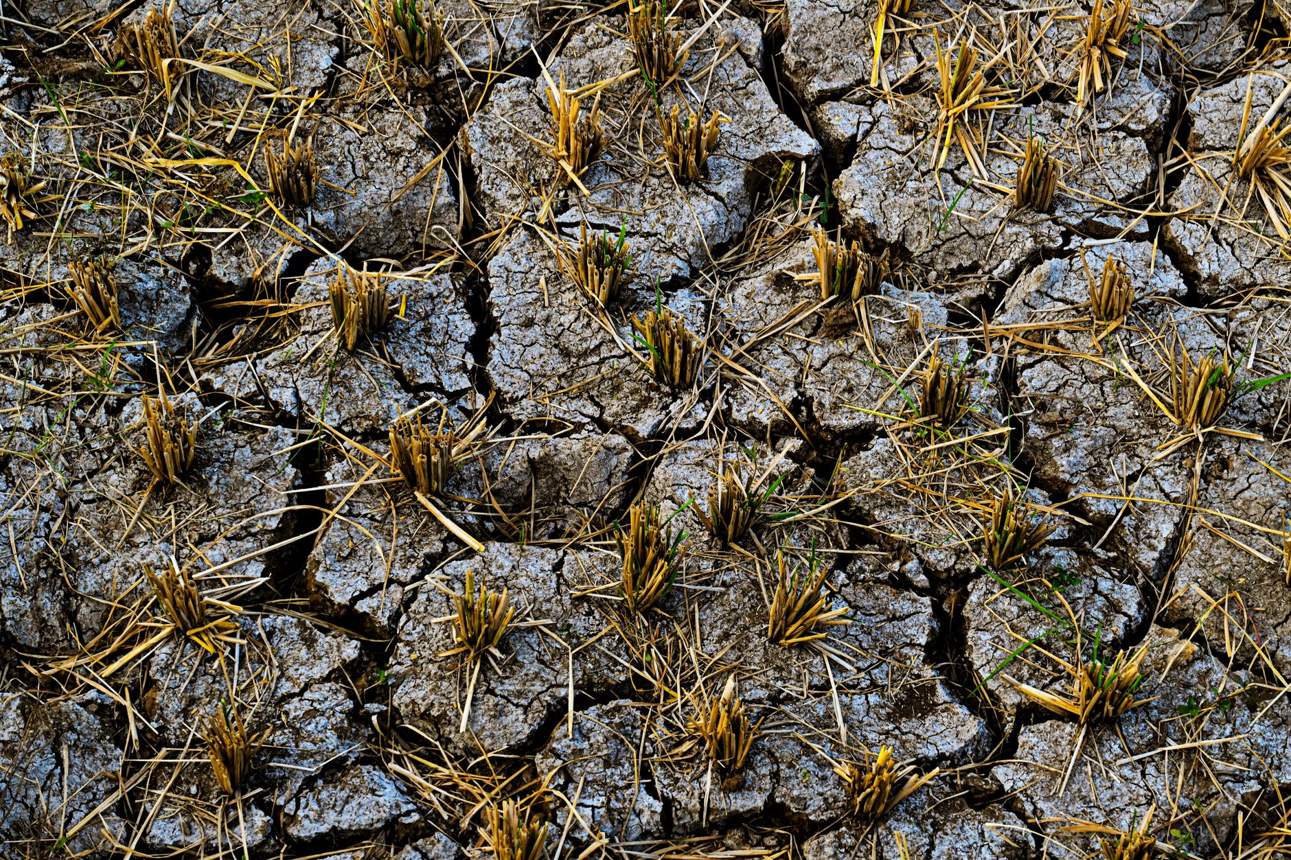
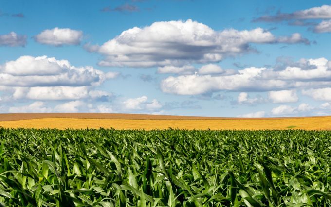
While farmers in the Brazilian South must prepare for heavy rains and excess water, in much of the Central-West, North, Northeast, and Southeast, the phenomenon is expected to pose the opposite challenge: water shortages, irregular rainfall, and high temperatures. The differences are not limited to regional boundaries: risks also vary depending on location, crop, production system, and agricultural cycle stage.
The contrasts are evident throughout the map. In the Central-West, the states Mato Grosso and Goiás are at the highest risk of drought, while the southern part of Mato Grosso do Sul is likely to receive more rain. In the Northeast, the concern is the reduced water supply; in the North, falling river levels could affect navigation, transportation, and water supply. The Southeast includes both drier and wetter areas even within the same state, while in the South, excessive rainfall increases the risk of waterlogging, erosion, and crop diseases.
The teamwork unfolded the 163 measures listed by the El Niño Working Group established by the Ministry of Agriculture and Livestock (Mapa) with the participation of approximately 50 professionals from Embrapa and experts from the National Institute of Meteorology (Inmet).
In addition to reducing the impacts of the 2026/2027 El Niño, some of the recommendations can be incorporated into farm planning to improve preparedness for other recurring weather events and conditions.